Complete Dorking’s most challenging online jigsaw: the awesome cartoon bus map!
 Mole Valley Bus Map
Make a map of your favourite walk.

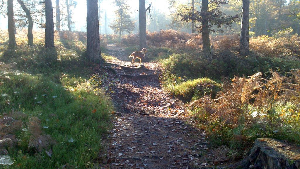
It could be your favourite dog walk or simply somewhere you enjoy going.
Sketch the layout of your walk as a birds-eye-view to show the footpaths, woodlands, buildings and adjoining roads, then use arrows to indicate your route.
Walk your route to make sure you have not forgotten anything.
Using paint or crayons, make it colourful so people find it more fun to look at.
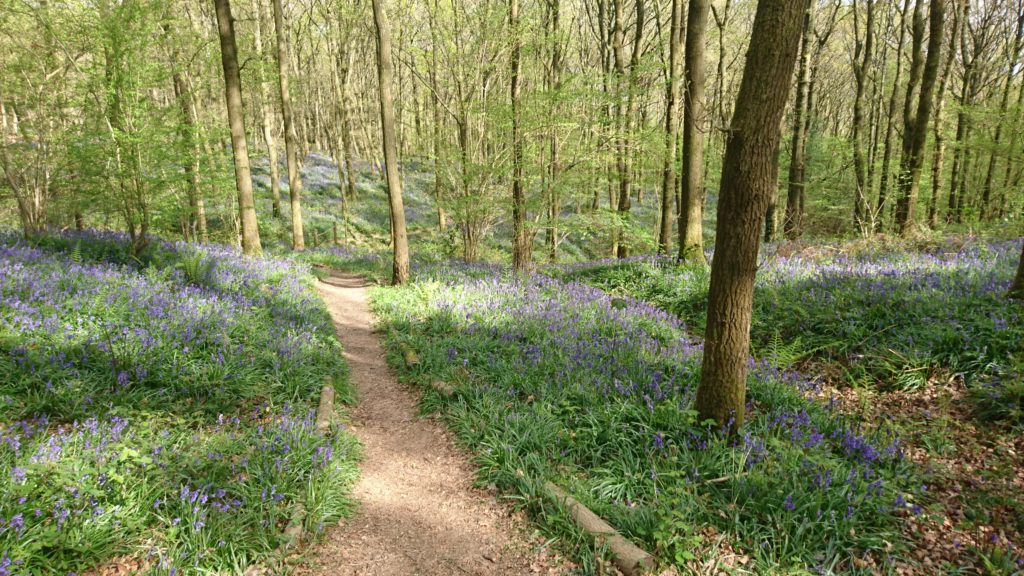
Add labels giving the main place names and anything you think might be of interest (for example: giant redwood tree planted in 1892, Fred’s memorial bench or good place to see bluebells in springtime).
Make your map special by including those secret place names that only you and a few locals know. For example, there is a steep country lane near Dorking that gets very slippery in the winter. It is known locally as Slippery Sam, though nobody can remember why. A path on Holmbury Hill is known locally as Burma Road, though nobody knows where the name came from. Others include Sleepy Hollow and Gordon’s Gate. Benches are often put at viewpoints in memory of loved ones (e.g. Jim’s Bench).
Each place name has its own story to tell. Mark the secret local place names on your map, then explain them if you can. Your map will be useful in the future when everyone has forgotten where the names came from. Ask about the secret place names in your area?


