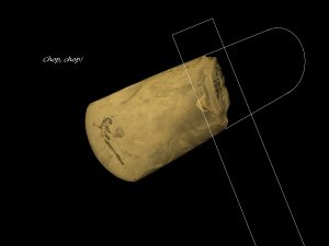
We can learn about the settlement of the Dorking area, from prehistoric times to the Saxon period, from the archaeological evidence of personal items and physical constructions that these people left behind.
First human residents

At the end of the Ice Age, oak forest spread across much of Sussex and Kent to the chalk ridge of the North Downs. During the Mesolithic period (c. 6,500-4,000 BC), small groups of humans settled across the sandy (‘greensand’) hills to the south of Dorking, living by foraging for fruit and nuts, and hunting for fish and game. Over time they began to cultivate plants and to farm animals
The light, well-drained soil of the greensand is easier to work than the heavy clay further to the south, and so farming was established between Betchworth and Abinger at the foot of the chalk ridges, and along the banks of the River Mole.
Round-houses and Hill-forts

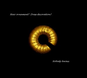
By the Bronze Age, roughly 2,500-800 BC, there were burial mounds on the hills at Glory Wood and Milton Heath. High status people were buried on these hills, at the boundaries between local tribes.
Iron Age (800BC-43AD) man built forts at Anstiebury and Holmbury on the greensand hills in the 1st century BC. Their large earthworks would have required considerable man-power. The forts were probably built by farmers who lived in nearby round-houses, such as the one at Mickleham Downs.
Stane Street

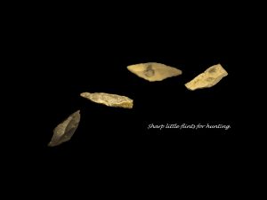
The Romans were the first people to exploit the Mole Gap as a route for travel. The road that they built to bring supplies up from Chichester (Noviomagus) over the Thames at London was later known as ‘Stoney-street’ (now Stane Street) because of its flint surface. Local flints and stones were used to build the road’s cambered surface. The road kept to rising ground to avoid the worst of the Wealden clay. Its route through Dorking is not precisely known.
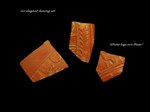
There was a Roman settlement in Dorking, concentrated around the St Martin’s church and High Street area. There was also a Roman villa – with mosaic floors – at Abinger (near Crossways Farm).
When the Roman economy collapsed in the 5th century the road probably fell into disrepair. It was more than 1,000 years before there was another viable road across the Weald to Dorking.
Dorchinges – the People of Deorc

After the Roman collapse farming continued on the greensand. The local population saw a migration of Anglo-Saxon people from the Low Countries into the area.
From the small settlement at Dorking swine herdsmen raised pigs, which fed on beech mast and acorns, in the woodland to the south. A seasonal herdsmen’s settlement grew up at Ewekene. In time this became the permanent settlement of Capel. The long thin ‘manor’ that evolved between the two, stretching from chalk through the greensand into the Wealden clay is characteristic of the area.
By the time of the Norman Conquest in the 11th century the Anglo-Saxon manor was known as Dorchinges, Old English for ‘the people of Deorc’.
All Images: Surrey Archaeological Society and Surrey County Archaeology Unit (part of Surrey County Council)
The following pieces can be found in the Archaeological Collection of Dorking Museum
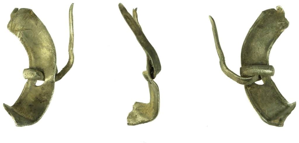
A bent fragment of a Medieval silver annular brooch, complete with pin which remains in place, c.1200-1400. Found in Betchworth.
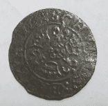
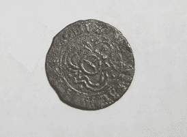
A jetton made by Hans Schulz in Nuremberg, 16th century. Found in Betchworth.
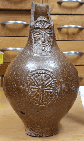
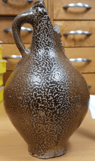
A pear-shaped jug, commonly called a ‘Bellarmine’. 16th to early 17th century. Found during building work at the back of the Red Lion, formerly the Cardinal’s Hat.
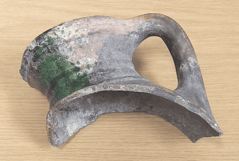
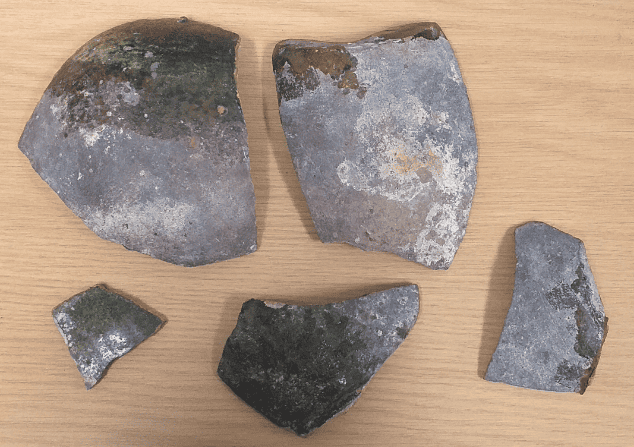
A Surrey whiteware jug, in six pieces, 15th century.
Last : Cretaceous Dorking
